

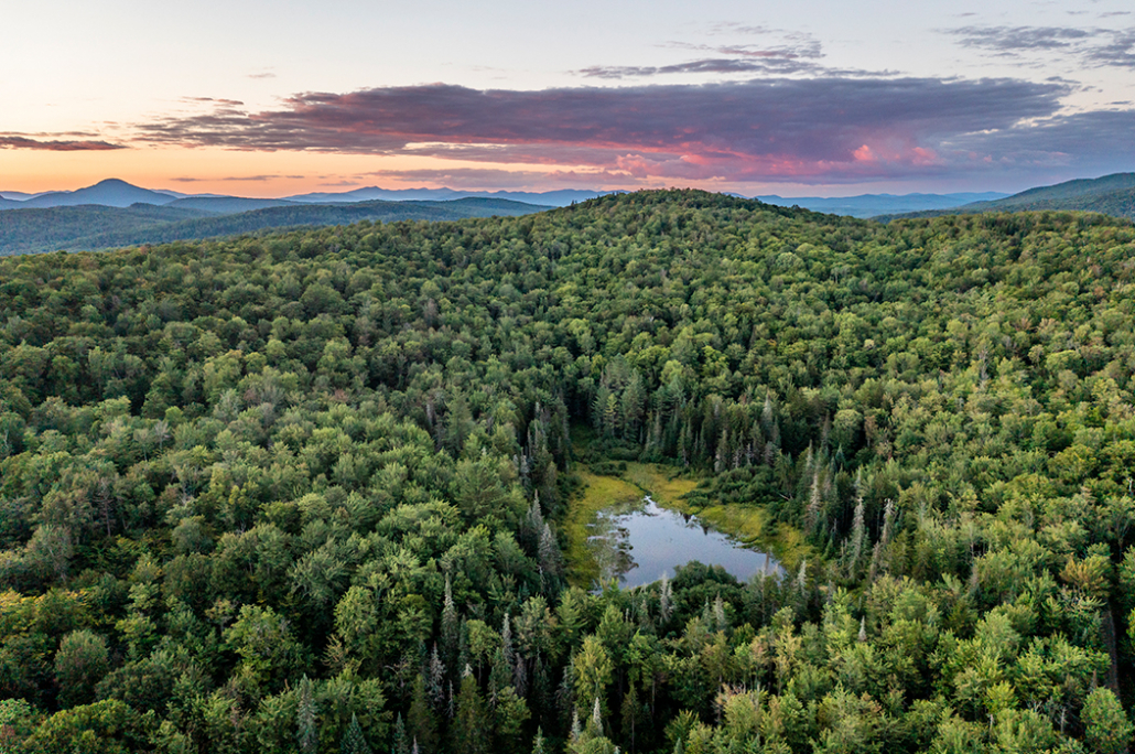
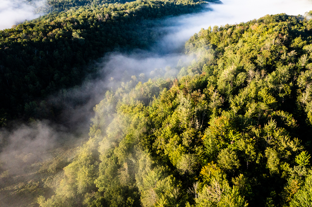
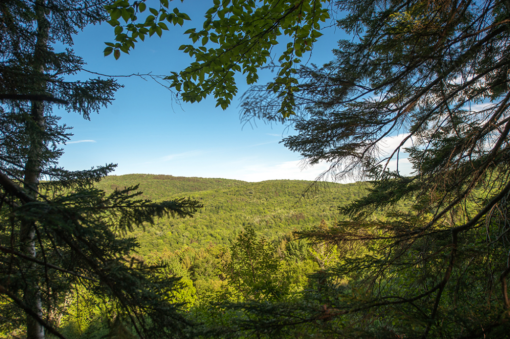
A vast expanse of carbon-rich forests, wetlands, and more than 39 miles of headwater streams in central Vermont
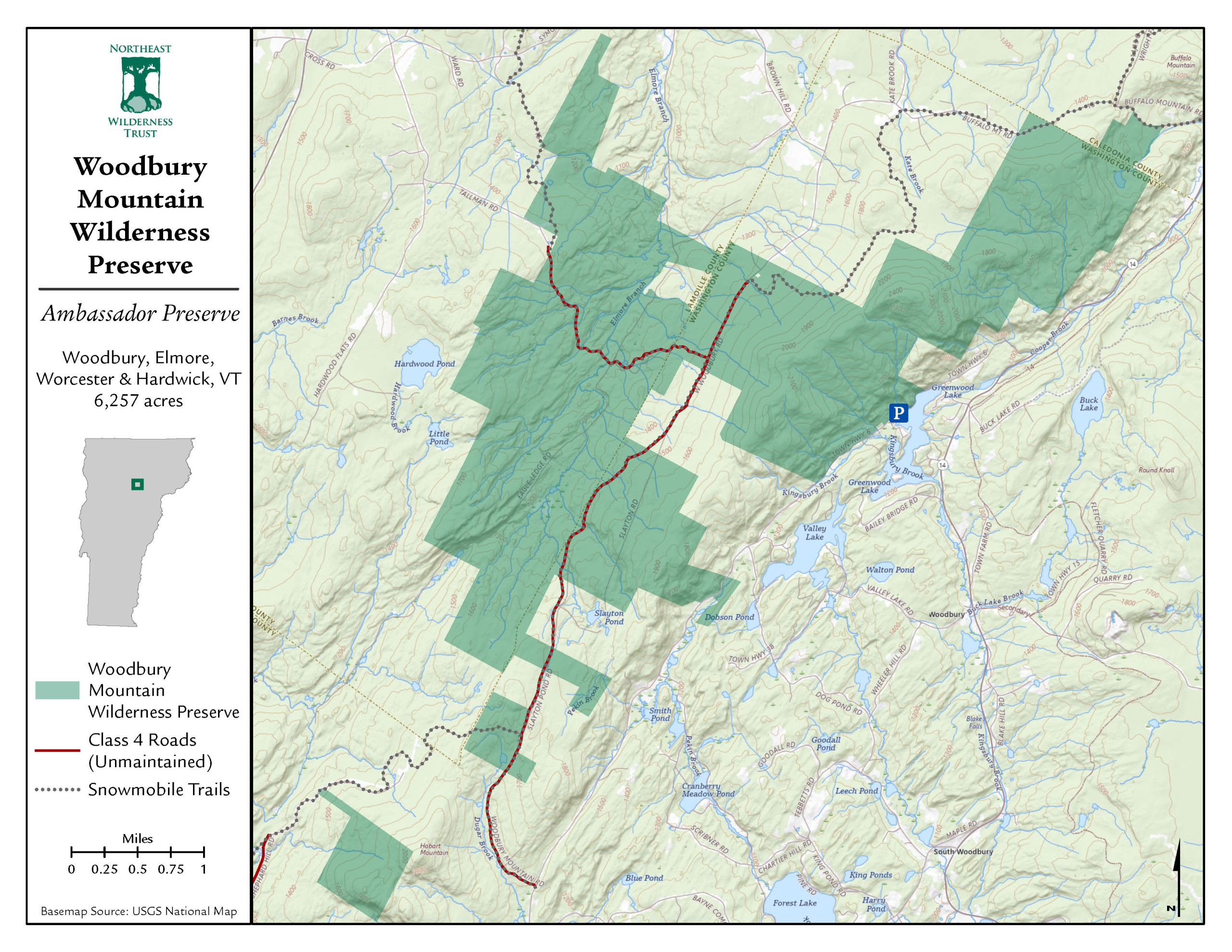
Woodbury Mountain Wilderness Preserve is the largest non-governmental wilderness area in the state. The property has been expanded three times since 2021, increasing its original acreage from 5,400 to 6,257.
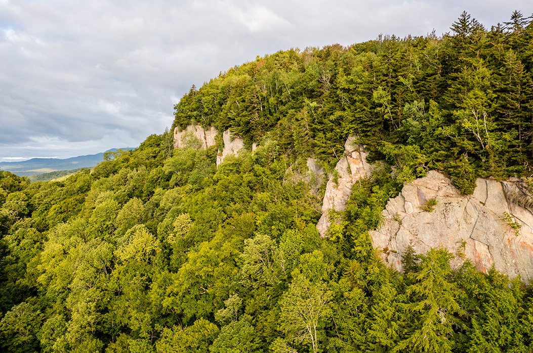
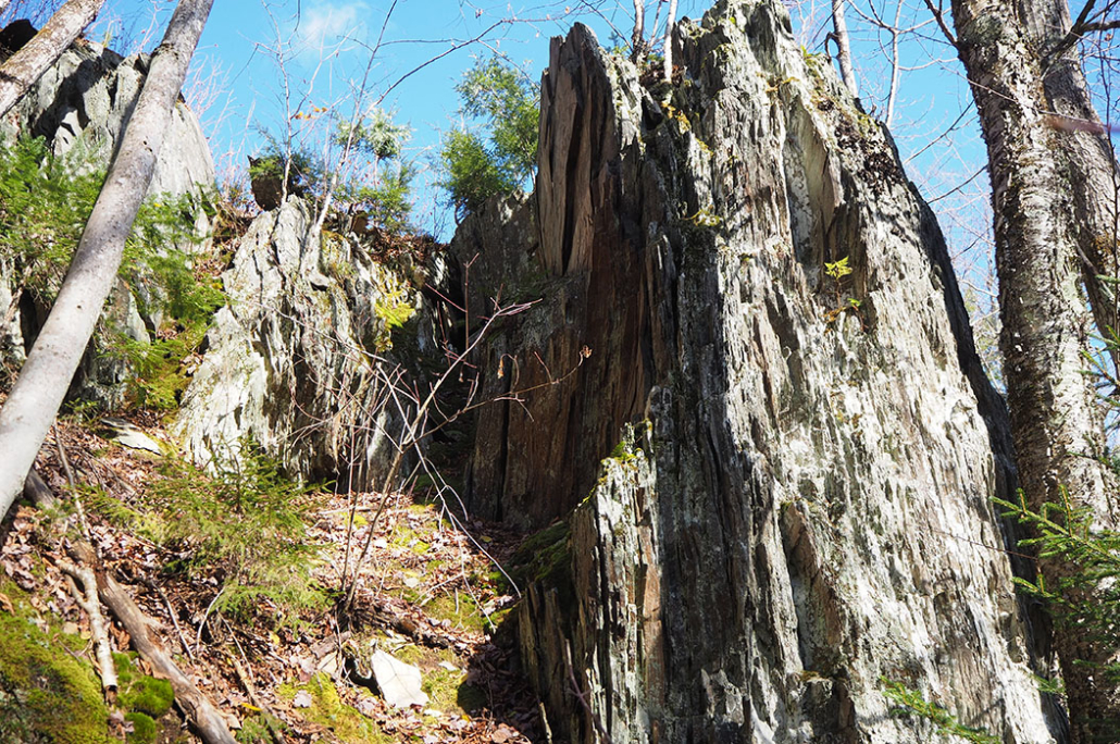
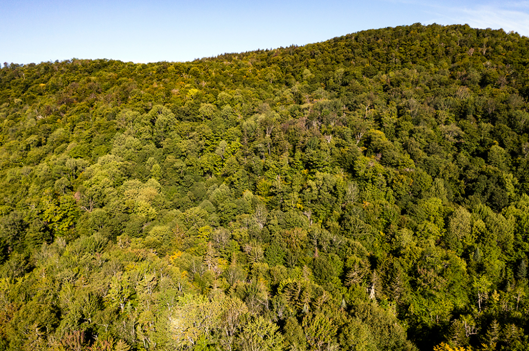
A connected forest of local, regional, and global importance
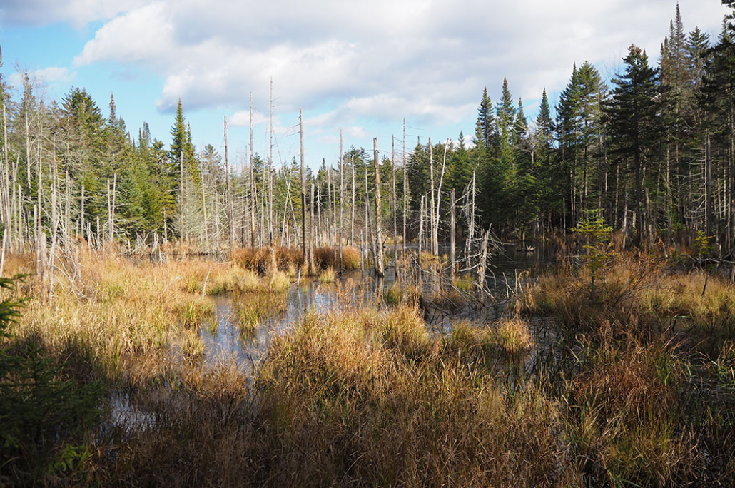
Woodbury Mountain Wilderness Preserve includes 39 miles of headwater streams of the Lamoille and Winooski Rivers. The property also protects regional wildlife connections and includes stunning northern hardwood forests and a diversity of wetlands.
The land sits at a crossroads for far-ranging wildlife. To the west are the Worcester Mountains, the only remaining undeveloped mountain range in Vermont. To the north is Vermont’s Northeast Kingdom. The area between these two regions, at the heart of which the Preserve sits, is known as the “Worcester to Kingdom” linkage.
This area also falls within Vermont’s only “Important Bird Area” of global significance, according to Audubon and BirdLife International. A permanently protected, core wilderness within this managed landscape ensures birds like the Winter Wren and Blackburnian Warbler, which thrive in large, old forests, continue to find homes in the Green Mountain State.


