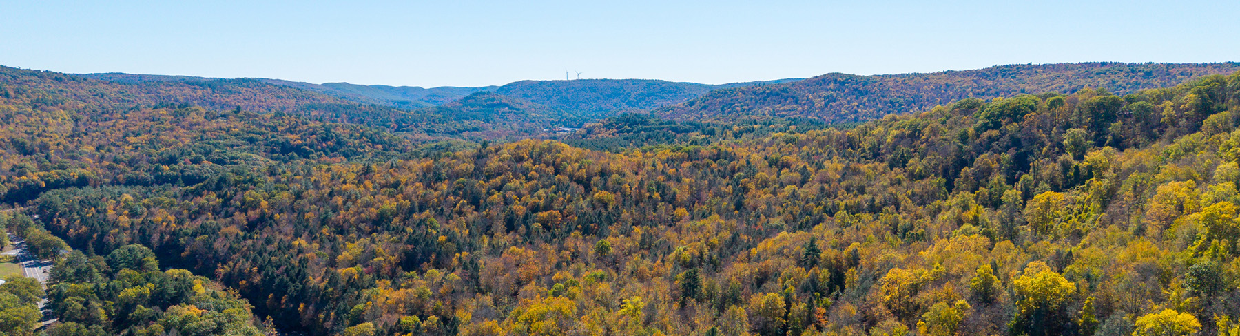
Huntington, MA 230 acres Visitor Guidelines Download Map

Rewilding the Shoreline of the Westfield River in Massachusetts’ Connecticut River Valley


The word “wilderness” often conjures distant landscapes—the soaring peaks of the White and Green Mountains or the vast forests and roadless expanses of the Adirondack Park and Baxter State Park. Yet wildlands need not be “far-away” places; they can be created where humans live and work, including in sought-after locales like river valleys. In fact, these latter wildlands, though sometimes smaller and less scenic than their remote counterparts, play an outsized role in biodiversity conservation. They protect natural communities precisely where those communities are most threatened, where wild Nature is most scarce.

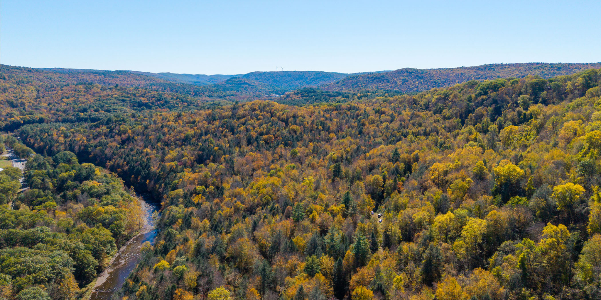
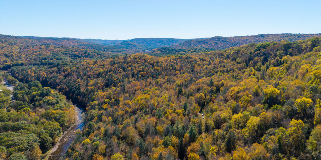
River’s Edge Wilderness Preserve exemplifies the power of wilderness conservation near population centers. Encompassing 230 acres of forestland and over 6,100 feet of frontage along the Westfield River in western Massachusetts, this project safeguards forever-wild land in an area essential to regional habitat connectivity but where wildlands remain vanishingly rare.

A Wild Buffer Befitting a Wild River

The Westfield River, the longest Massachusetts tributary of the Connecticut River, forms nearly the entire eastern border of River’s Edge. 78 miles of the Westfield, which flows southeast from its headwaters in the Berkshire Hills, boast a “Wild and Scenic” designation by the federal government—a testament to the special character of this portion of the river, as just 147 of Massachusetts’ nearly 100,000 river miles enjoy this distinction. Still, while this designation and state and local regulations confer some protections on the river, these measures do little to restrict logging and development of the forests on the Westfield’s shores.

River’s Edge Wilderness Preserve establishes a critical forever-wild buffer along a portion of the Westfield’s west bank in Huntington. In line with Northeast Wilderness Trust’s focus on protecting wilderness areas alongside long-distance hiking trails, this project capitalizes on a preexisting landscape feature—in this case, a riparian corridor—to strengthen habitat connectivity and reduce fragmentation.
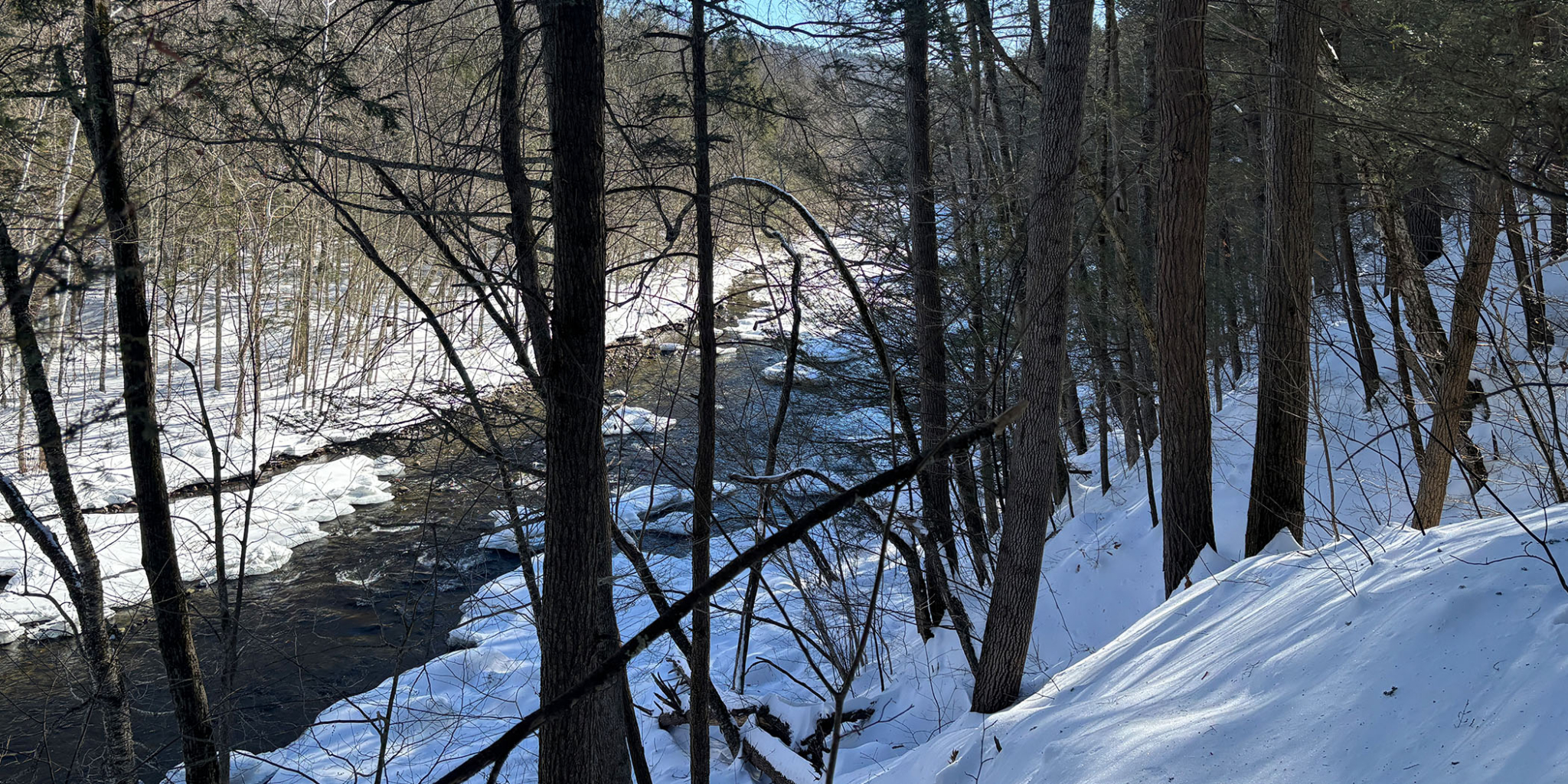
Rivers Edge - River Banner

Strengthening Regional Partnerships, Connectivity, and Ecosystem Diversity

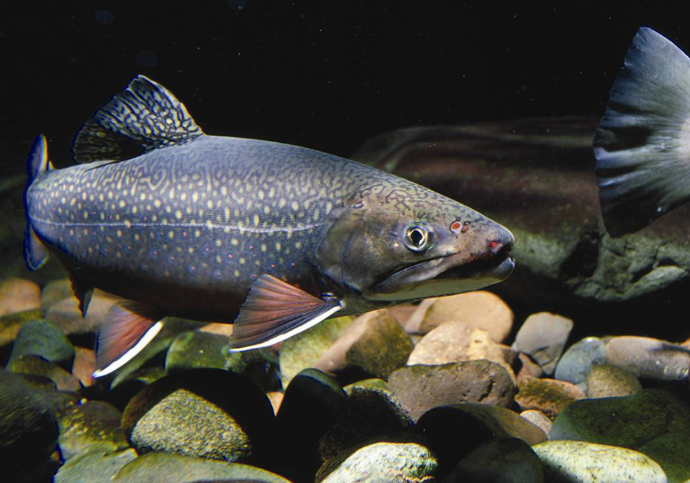
The Westfield’s role as a key channel for native fish like trout, hunting grounds for birds and mammals, and a source of clean drinking water for local communities in its watershed makes it a focus of regional conservation initiatives. The river is at the center of a robust public-private partnership: the Western Mass Headwaters Project (WMH), a subset of the Connecticut River Watershed Partnership consisting of a coalition of land trusts and other organizations aiming to protect 10,000 acres of critical habitat west of the Connecticut River. River’s Edge, which is strengthened by collaboration between Northeast Wilderness Trust and Kestrel Land Trust in the form of a conservation restriction on the property, advances WMH goals while embodying Northeast Wilderness Trust’s mission to Conserve Forever-Wild Landscapes for Nature and People.

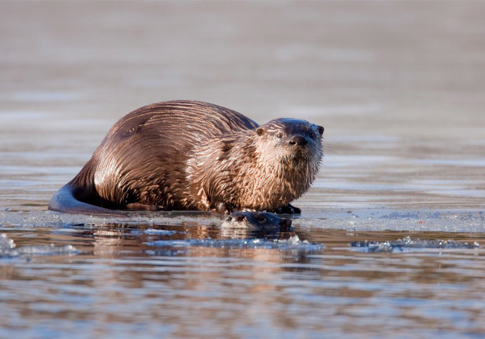
River’s Edge’s also enhances habitat connectivity in western Massachusetts and beyond. The Preserve sits within the Staying Connected Initiative’s Green Mountains to Hudson Highlands Linkage (the “Greens-to-Hudson”), a 2.4-million-acre swathe of land in the Northern Appalachians. The Greens-to-Hudson is a critical corridor for wildlife like black bear, otter, and bobcat migrating north in response to rising temperatures and ecosystem shifts. Western Massachusetts’ Berkshires are a cornerstone of this linkage, described by The Nature Conservancy as “among the most important areas in all of New England for long-term survival of rare and endangered species—and all species.” Though around 40 percent of this crucial region is protected in some form, gaps remain: the durability of legal protections on conserved lands varies and wildlands are scant.

River’s Edge helps fill these gaps. Even as Northeast Wilderness Trust continues pursuing large tracts of land in northern New England, it is working hard to expand its forever-wild footprint further south. Protecting lower-latitude parcels like River’s Edge can also preserve ecological diversity. Natural communities better adapted to warmer temperatures, infrequent in northern New England, thrive in the comparatively warmer conditions of the Preserve. River’s Edge boosts these natural communities’ representation among wildlands, all while ensuring that this irreplaceable section of the Greens-to-Hudson persists as a lifeline for adapting wildlife.

River Otter photo
Brook trout in a river
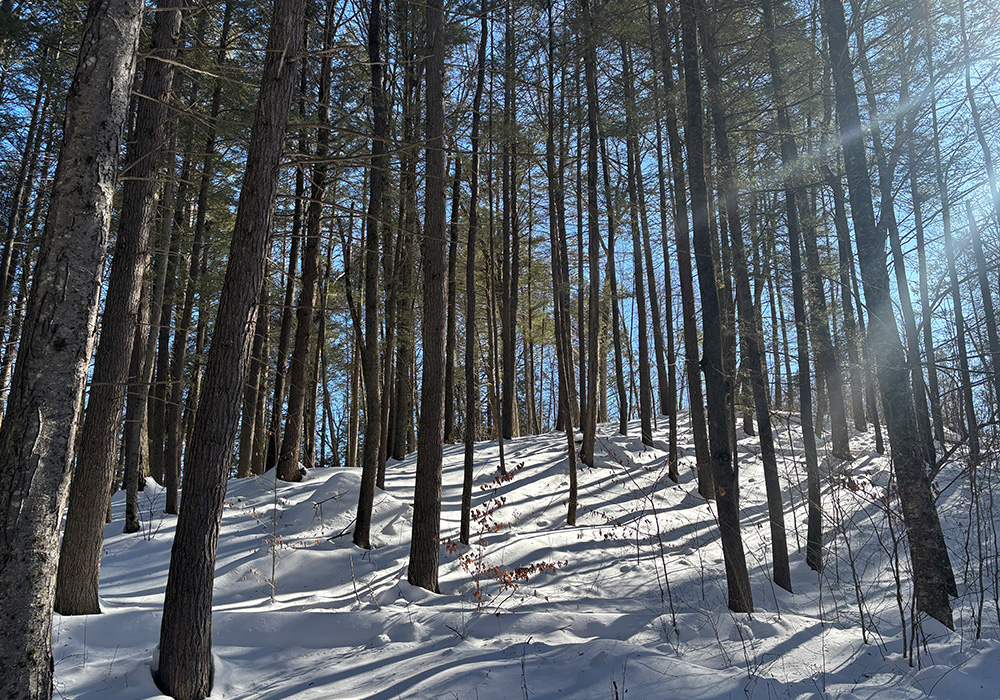
Rivers Edge Wilderness Preserve forest in winter

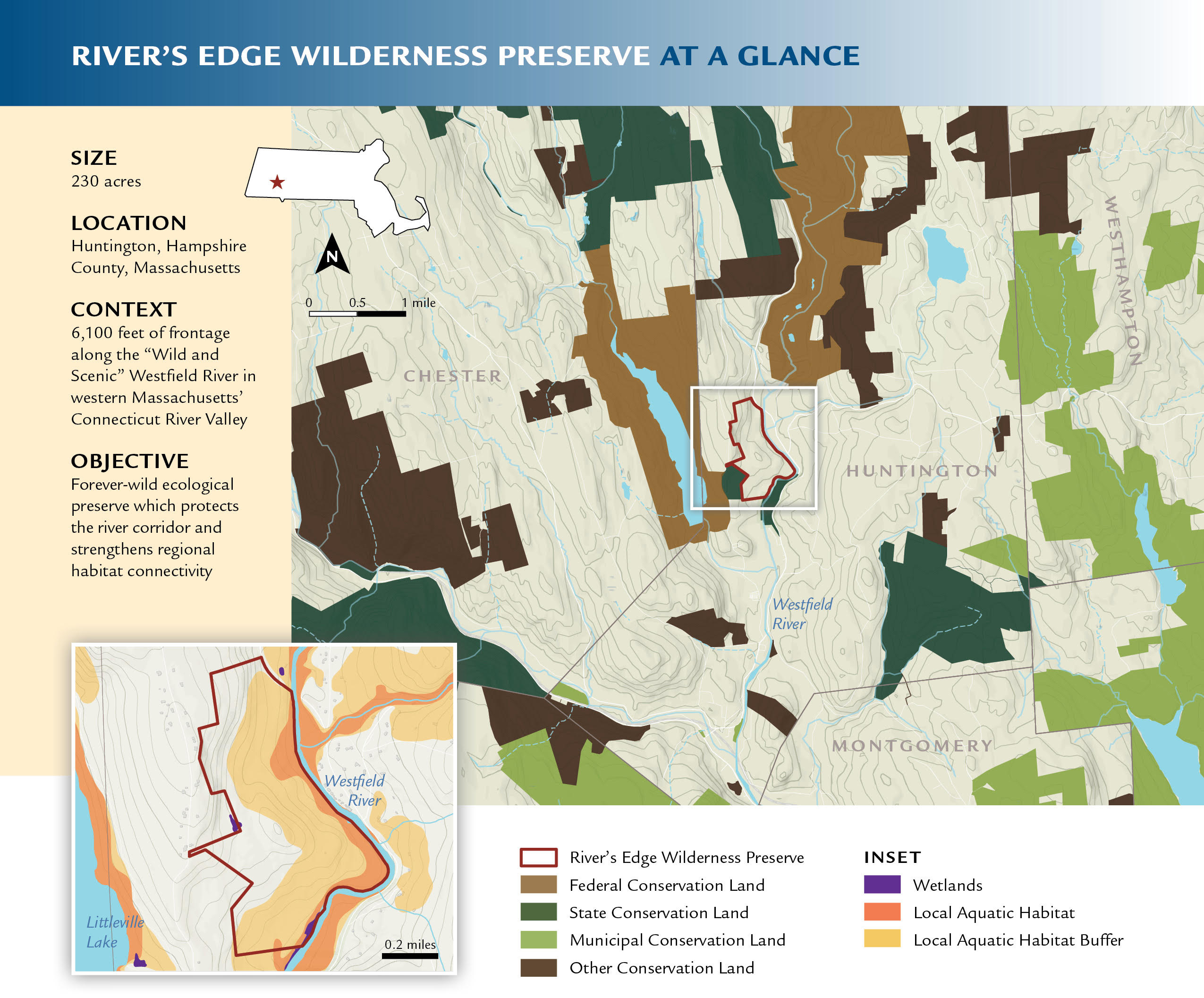
River’s Edge Wilderness Preserve at a glance

Size: 230 acres

Location: Huntington, Hampshire County, Massachusetts

Context: 6,100 feet of frontage along the “Wild and Scenic” Westfield River in western Massachusetts’ Connecticut River Valley

Objective: Forever-wild ecological preserve to protect the river corridor and strengthen regional habitat connectivity

Map of Rivers Edge

Rivers Edge Banner and Feature Image 1

Photography: Landscape by LandVest, Great Blue Heron by Josh Fields, Brook trout by USFWS, Westfield River by Jason Mazurowski, River otter by Larry Master.

Rewild My Inbox

Bring the wilderness straight to your inbox with the Wild Times E-newsletter.

Visitor Guidelines
River’s Edge Wilderness Preserve is open to the public for quiet exploration and enjoyment. Please respect the plants and animals who live here, show consideration to wildlife, other visitors, and neighboring landowners, know and obey the law, and leave the natural environment as you found it. Enjoy your visit and respect the following guidelines while on the land:
Welcomed Activities
Walking, hiking, snowshoeing & cross-country skiing
Photography, wildlife observation & nature study
Swimming, fishing, paddling & non-motorized boating
Dogs under voice or leash control
Hunting on the Preserve requires a permit, available at newildernesstrust.org/hunting
Prohibited Activities
Motorized vehicles (ATVs, dirt bikes, 4x4s, snowmobiles, or other motorized or mechanized vehicles)
Bicycles
Horses or pack animals
Camping, fires & fireworks
Loud music or radios
Trapping, hounding, or predator hunting
Cutting or damaging plants or trees
New trails or unauthorized trail maintenance
Launching & landing drones
Click here to read NEWT Preserve & Sanctuary Visitation Guidelines
Accredited Land Trust logo.
Rewild my inbox!

NORTHEAST WILDERNESS TRUST
17 STATE STREET, SUITE 302
MONTPELIER, VT 05602

802.224.1000

info@newildernesstrust.org

Accredited Land Trust logo.
Logo of a one over a two.
Logo for the Global Rewilding Alliance.
A platinum Seal of Transparency.

© Northeast Wilderness Trust 2026    TERMS OF USE    PRIVACY POLICY

Learn about our Green Guarantee.

Sign up for the Wild Times Enewsletter!

NORTHEAST WILDERNESS TRUST
17 STATE STREET, SUITE 302
MONTPELIER, VT 05602

802.224.1000

© The Northeast Wilderness Trust 2024    TERMS OF USE    PRIVACY POLICY

Learn more about our Green Guarantee.

Logo for Accredited Land Trust.
A one over a two, meaning one half.
Logo for the Global Rewilding Alliance.
A platinum Seal of Transparency.